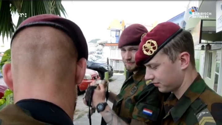
43 Soldiers of the Royal Netherlands Army are on St. Maarten to fully map out the land, infrastructure, buildings, bridges, water and electricity facilities. With this information, faster and better aid can be provided in the event of natural disasters.
The mission, called Engineer RECCE, is in collaboration with TNO in Delft, where all data is read and processed. The government of Sint Maarten will be offered these data. Sint Maarten is located in an area that sometimes passes through hurricanes. In 2017, the island was almost destroyed by Hurricane Irma.
There are also plans to carry out this exercise on the neighboring islands of Saba and St. Eustatius in the short term, which are also located in the hurricane area. https://caribischnetwerk.ntr.nl/2021/04/21/koninklijke-landmacht-brengt-sint-maarten-in-kaart-voor-orkaanseizoen/